Encyclopedia
Land Survey Object Map (Plan)


Your opinion
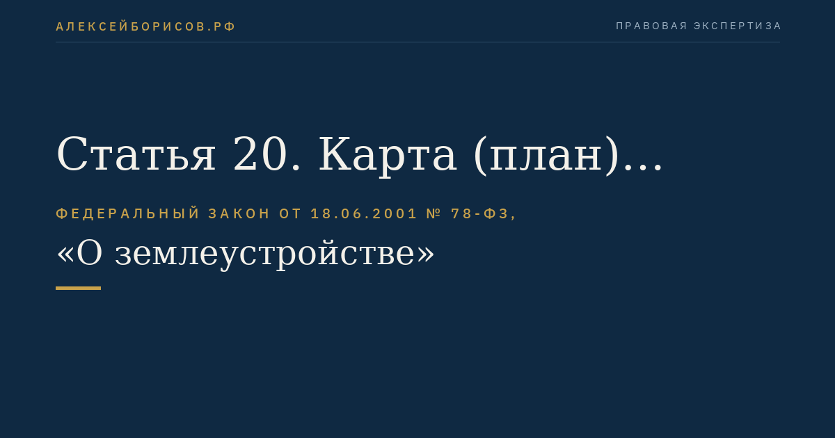
The land survey object map (plan) is a document displaying the location, size, boundaries of the land survey object and its other characteristics in graphical and textual forms1
The land survey object map (plan) is a document displaying the location, size, boundaries of the land survey object and its other characteristics in graphical and textual forms2.
Choose a reaction, rate the material, and tell us what could be improved.
Понятие «карта (план) объекта землеустройства» женского рода.
| Падеж | Единственное число | Множественное число |
|---|---|---|
| Р | карты (план) объекта землеустройства | карт (план) объекта землеустройства |
| Д | карте (план) объекта землеустройства | картам (план) объекта землеустройства |
| В | карту (план) объекта землеустройства | карты (план) объекта землеустройства |
| Т | картой (план) объекта землеустройства | картами (план) объекта землеустройства |
| П | карте (план) объекта землеустройства | картах (план) объекта землеустройства |